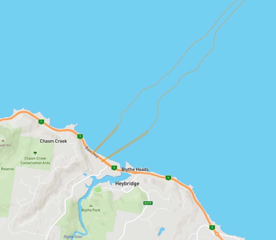
Marinus Link’s Route Options Report Overview was recently released. The document provides an overview of the route selection process and the proposed route for Marinus Link, with a focus on the land section. The report is a resource to inform the community and to outline opportunities to provide input into the project and development of the preferred route.
Over the next few months, TasNetworks will be undertaking ecological, cultural heritage and geotechnical field surveys, continuing with landowner engagement, and there will be engagement opportunities for the wider community.
An interactive map is now available on Marinus Link’s engagement website, where you can view the proposed route from Heybridge to Hazelwood in Victoria.