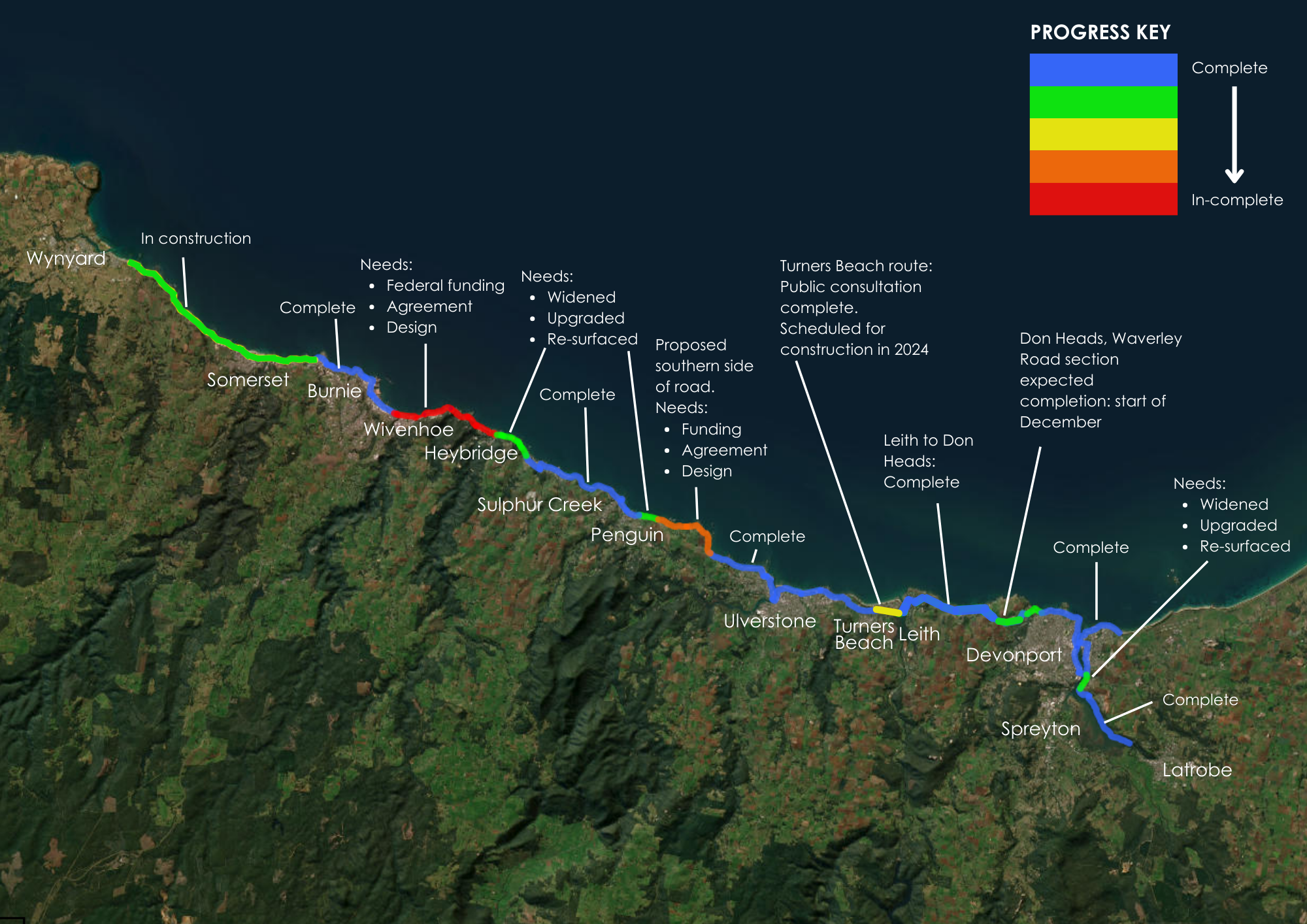
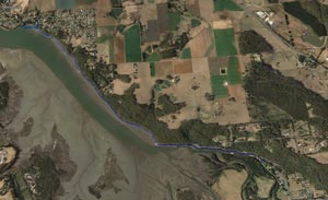
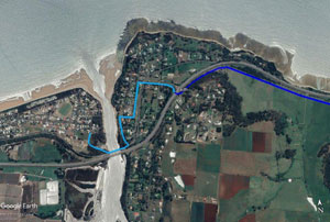
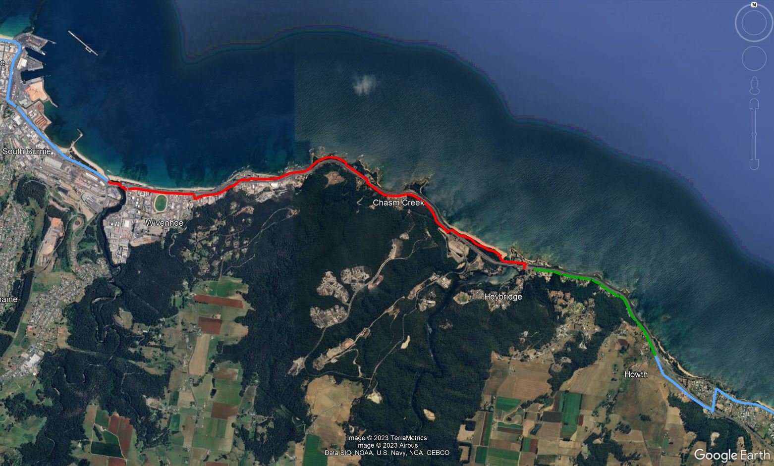
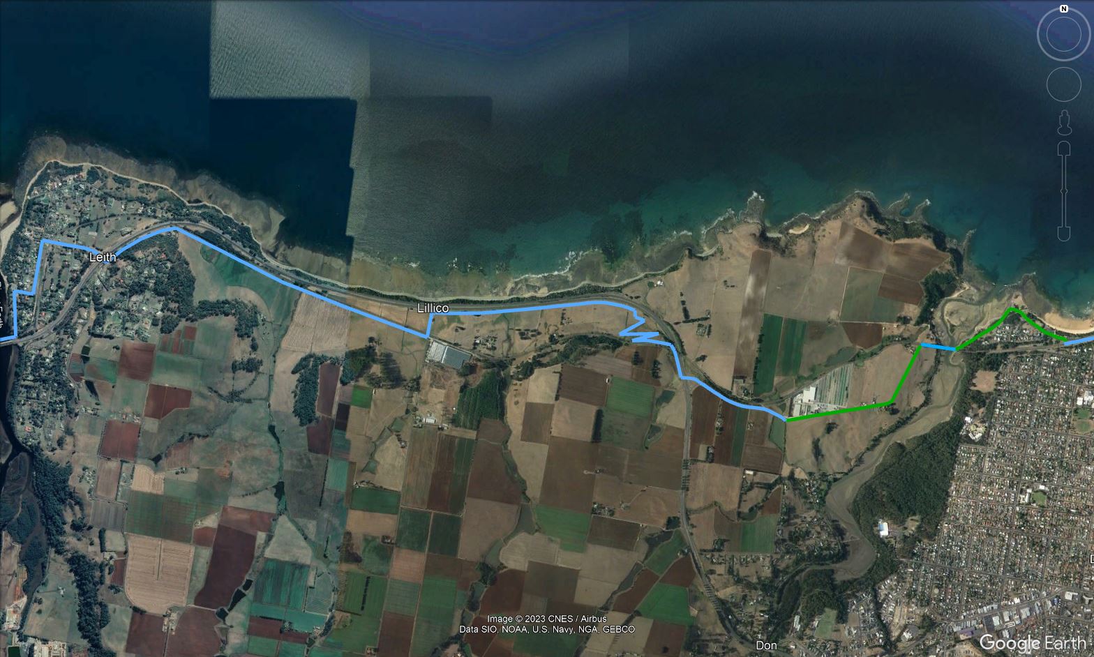
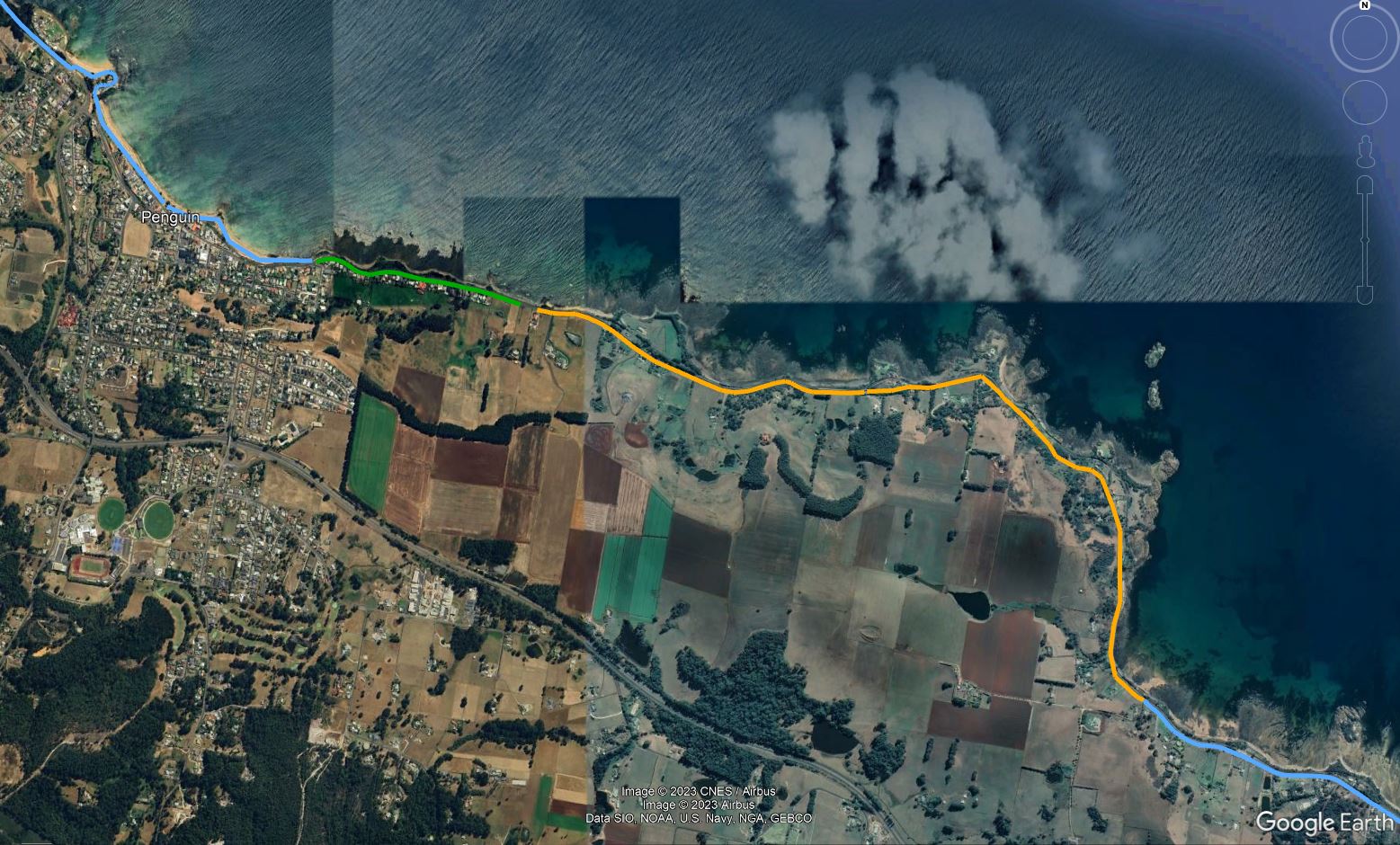
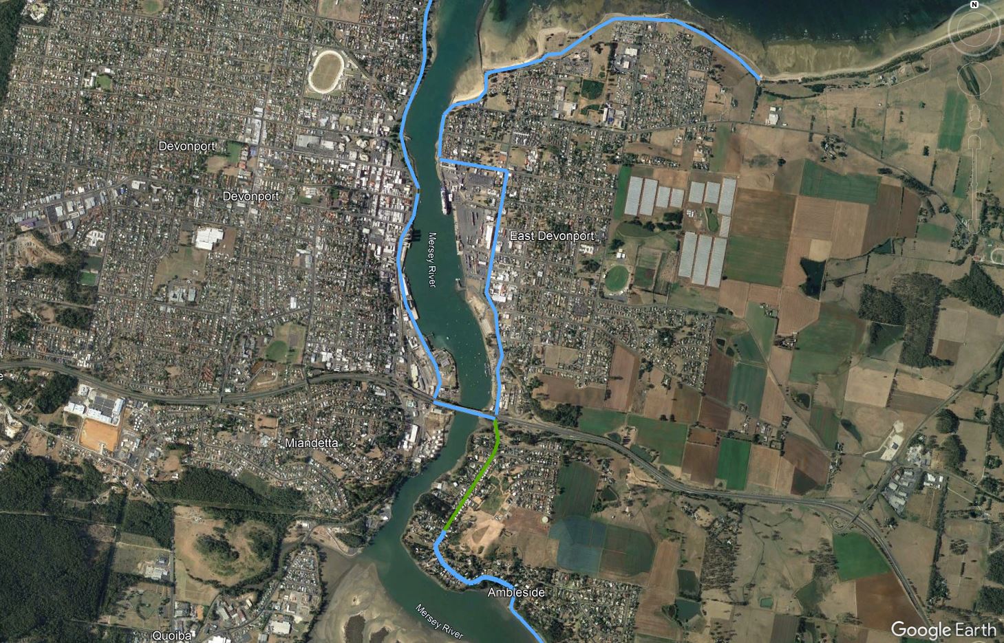
Covering approximately 85km, this continuous shared pathway once complete will provide outstanding infrastructure for our region and connect more than 85,000 residents between Wynyard and Latrobe. In addition to the continuous length there will be approximately 24km of additional shorter connecting links.
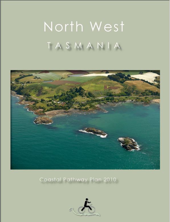
In 2009, The Cradle Coast Authority, in conjunction with Safer Roads for Cyclists Tasmania, the co-operating local councils and the State Government, initiated the North West Coastal Pathway Project with the North West Coastal Pathway Plan being released in 2010. 2010-2018 has seen the development of key sections of this plan.
In 2019, four significant sections have been funded for construction via funding committed by our Local, State and Federal Governments: Sulphur Creek to Penguin; West Ulverstone; Leith to Don; and Ambleside to Latrobe. Construction for these four sections are due be completed by the end of 2022. In addition to these, a key link connecting Turners Beach to Leith will also be constructed.
Benefits associated with this fundamental piece of infrastructure are far reaching and include fostering increased health and wellbeing, removing barriers for increased cycling & walking as alternatives for commuting to work and strongly supporting growth in our visitor economy.
PROGRESS UPDATES & PLANS
