CIRCULAR HEAD
CHOOSE CIRCULAR HEAD
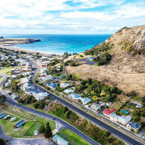
The Circular Head area is located in north-western Tasmania, about 230 kilometres north-west of the Launceston CBD. The Circular Head Council area is bounded by Bass Strait in the north, the Waratah-Wynyard Council area in the east, the West Coast Council area in the south, and the Southern Ocean in the west. The Circular Head Council area is named after Circular Head, the land formation commonly known as “The Nut”, which is a solidified lava lake of an extinct volcano.


TOWNSHIPS IN CIRCULAR HEAD
The Circular Head Council area encompasses the localities of Alcomie, Arthur River, Black River, Brittons Swamp, Broadmeadows, Christmas Hills, Corinna (part), Couta Rocks, Cowrie Point, Crayfish Creek, Detention, Edgcumbe Beach, Edith Creek, Forest, Hellyer, Irishtown, Lileah, Marrawah, Mawbanna, Mella, Mengha, Meunna (part), Milabena (part), Montagu, Montumana (part), Nabageena, Nelson Bay, Port Latta, Redpa, Rocky Cape (part), Roger River, Scopus, Scotchtown, Sisters Creek (part), Smithton, South Forest, Stanley, Temma, Togari, Trowutta, West Coast (part), West Montagu, West Takone (part), Wiltshire and Woolnorth.
LIVING IN CIRCULAR HEAD
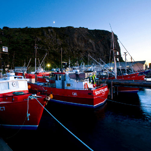
The Circular Head Council area is predominantly rural, with urban areas in the townships of Smithton and Stanley, the small township of Marrawah, and several smaller settlements. Rural land is used largely for agriculture (particularly dairy and beef farming) and timber production. Commercial fishing, aquaculture and tourism are also important industries. The Circular Head Council area encompasses a total land area of about 4,900 square kilometres.span>

