KING ISLAND
CHOOSE KING ISLAND
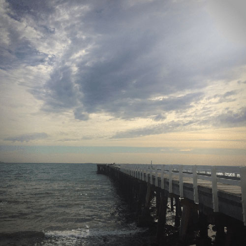
At the western entrance to Bass Strait lies an idylic place known as King Island. An island rich in history, with shipwrecks, lighthouses and jagged reefs, bountiful with long stretching sandy beaches and lush green pasture.
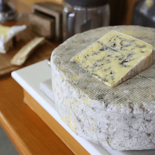
King Island produces some of Australia’s finest natural foods: including beef, cheese, crayfish and abalone.
Major features include Lavinia State Reserve, Seal Rocks State Reserve (including Calcified Forest), Reid Rocks Nature Reserve, Cape Wickham Lighthouse, Currie Lighthouse, Kentford Forest Conservation Area, King Island Dairy, the penguin rookery at Grassy, Cape Wickham Golf Course, Ocean Dunes Golf Course, Huxley Hill Wind Farm, King Island Historical Museum, King Island Recreation Complex, and numerous shipwrecks.


TOWNSHIPS ON KING ISLAND
The Island is predominantly rural, with three small townships. About half of the population live in the township of Currie, with two smaller townships at Grassy and Naracoopa. Rural land is used largely for agriculture (particularly beef and dairy farming), with fishing, kelp harvesting and tourism also being important industries.
LIVING ON KING ISLAND
The King Island Council area is located to the north-west of Tasmania, about 80-90 kilometres from both Victoria and Tasmania.

