CENTRAL COAST
CHOOSE CENTRAL COAST
The Central Coast Council area is about 20 kilometres west of Devonport and 30 kilometres east of Burnie. The Central Coast Council area is bounded by Bass Strait in the north, Devonport City in the east, the Kentish Council area in the south-east and south, the Waratah-Wynyard Council area in the south-west, and Burnie City in the west.
The Central Coast Council area includes the townships and localities of Abbotsham, Camena, Castra, Cuprona, Forth (part), Gawler, Gunns Plains, Heybridge (part), Howth, Kindred, Leith, Loongana, Loyetea, Middlesex (part), Nietta, North Motton, Penguin, Preservation Bay, Preston, Riana, South Nietta (part), South Preston, South Riana, Spalford, Sprent, Sulphur Creek, Turners Beach, Ulverstone, Upper Castra, West Pine and West Ulverstone.


TOWNSHIPS IN CENTRAL COAST
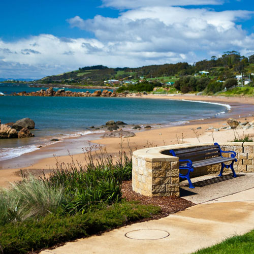
Major features of the Central Coast Council area include Gunns Plains Cave, Leven Canyon, Dial Range, Preston Falls, Winterbrook Falls, Penguin Viewing Platform, Black Bluff, the Leven River, the Forth River, Wing’s Wildlife Park, various state forests, Ulverstone Local History Museum, Perry-Ling Gardens and numerous beaches.
LIVING IN CENTRAL COAST
The Central Coast Council area features both urban and rural areas. Eighty-five per cent of the area’s population lives along the coastal strip. The principal townships are Ulverstone and Penguin, with smaller townships at Forth, Gawler, Heybridge, Leith, Sulphur Creek and Turners Beach.
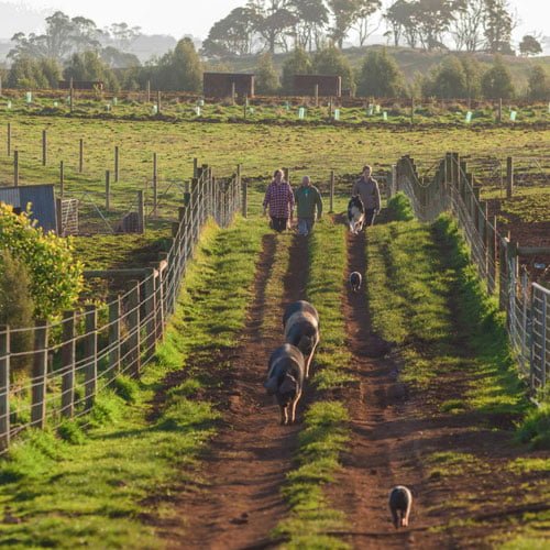
Rural land is used largely for agriculture, including poppies, pyrethrum, peas, potatoes and onion growing, and timber production and livestock enterprises. Tourism is also an important industry. The Council area encompasses a total land area of about 930 square kilometres.

